Las Vegas is the most geographically isolated major city in the contiguous United States. On all sides it is surrounded by hundreds of miles of desert and steep mountains. Let me take you on a tour of the desert as we fly from Las Vegas to San Francisco on a beautiful winter morning.
Here is an aerial tour of the desert west of Las Vegas.
 We took of from Vegas around 7:30 am. We were on our way to San Francisco. Here we are climbing over the steep mountains west of the city. In the distance you can see snow capped Mount Charleston. A lot of people don’t realize that there is a ski resort less than a half hour drive from the Vegas Strip.
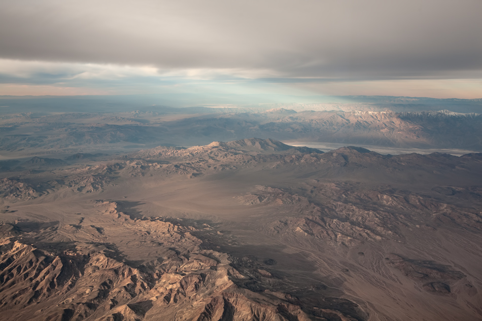
 This photo was taken over Pahrump, Nevada — looking towards the west. You can’t see Pahrump because we are directly over top of it. Look close and you can see Death Valley in the distance.
 This is Death Valley. The valley floor is covered in Salt. The bottom of Death Valley is below sea level. Any water that flows into the valley is trapped. When the water eventually evaporates it leaves behind the salt.
 Here we are ten minutes further west. This is Owens Valley California. In the bottom of the frame is The Inyo Range, and at the top of the frame are the Sierra Nevada. A winter storm system was moving in from the Pacific Ocean.
 . Thanks!